I’m known by friends in my home town as something of a mapping and cartography. A couple of friends of mine have been kind enough to share maps with me which they’ve inherited, dating all the way back to the early 1900’s.
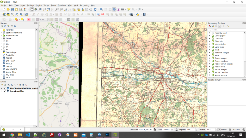
With the help of Bristol Print Centre‘s scanning services and this georeferencing tutorial, I’ve used QGis to position the scanned imagery on a digital map. Since I wanted a very high level of DPI on the scans to allow for close zooming, the resulting files are gigantic, with one particular map of London weighing in at over 800mb.
Clearly these files aren’t suitable for display on the web, so I’ve turned them into XYZ tilesets, breaking the images up into tiles of a fixed resolution, at various zoom levels.
Whilst attempting to georeference these images using the coordinates stated on the borders, I found alignment issues on at least one of these maps. Quite why that is, I don’t know. However luckily in this particular context, I have roads to use as reference points.
A couple of the maps are proving quite difficult to georeference, however I’m hopeful to post results within the next week or so, complete with an interactive map.
Watch this space!